San Francisco Department of City Planning
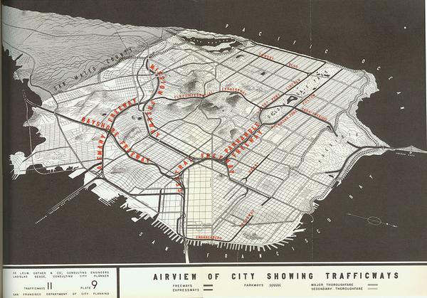
In 1947 the Federal Bureau of Public Roads and the National Interregional Highway Committee proposed a plan to construct freeways throughout the country and through established cities. San Francisco was no exception, and was subject to a plan for an elaborate network of expressways that would bisect the city.
The Central Freeway was planned to start at the Bayshore Freeway, run along Webster St and then connect with the Golden Gate Bridge via the Panhandle and Park Presidio St and to connect with the Embarcadero Freeway via Broadway. The Embarcadero Freeway, meanwhile, was planned to connect the Bay Bridge with the Golden Gate Bridge by following along the shoreline.
An initial part of the Central Freeway was opened in 1955, following a revised route alongside Octavia St and ending in ramps at Oak and Fell Streets and at Golden Gate and Turk Streets. An initial portion of the Embarcadero Freeway was completed four years later, connecting with US-101 (the Bay Bridge) and running north as far as Broadway Street, where a stub was constructed to allow the freeway construction to continue further at a later date.
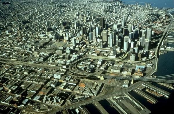
Photo by US Geological Survey
There was a resistance to the freeways from the start, but it wasn't until these two structures were built that the objection gained critical mass. The San Francisco Board of Supervisors passed several measures to halt further freeway construction and they attempted to reverse the construction that had already occured, but this proved politically difficult due to objections from merchants in the Richmond and Sunset districts who feared a loss of business would result from the loss of the freeways.
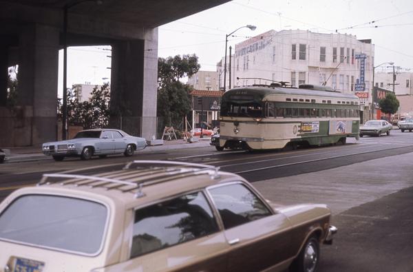
The 1989 Loma Prieta earthquake damaged both structures, causing them both to be immediately closed. The Central Subway was adapted into a single-deck structure by removing the upper deck and closing the portion north of Fell St, but the earthquake damage was ultimately the deciding factor in the total removal of the entire Embarcadero Freeway and the demolition of the Central Freeway north of Market St by 1996.
The Embarcadero Freeway had an elaborate interchange with US-101 near Folsom St between Essex St and The Embarcadero. This, along with the ramps for the recently-destroyed Transbay Transit Terminal, left several blocks completely unoccupied. This land was used for little more than parking lots for several years, but has at least seen some in-fill development and the construction of the Transbay Temporary Terminal that will provide public transit links to the East Bay until the Transbay Transit Center is completed.
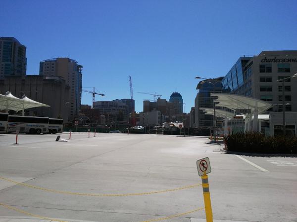
Photo by Martin Atkins
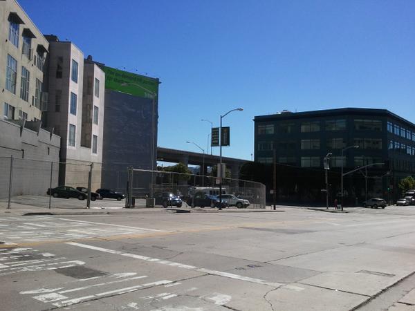
Photo by Martin Atkins
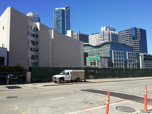
Photo by Martin Atkins
The Central Freeway was replaced by a boulevard that accommodates two lanes each way for access to the new freeway ramp at Octavia and Market Streets as well as one lane each way of bike-friendly local access streets. The freeway access lanes are separated from the local lanes by an attractive tree-lined median.
The portion of the Central Freeway north of Market St was originally constructed alongside Octavia St, which remained as a normal city street despite being overshadowed by the freeway. The destruction of the freeway structure therefore left an unusually-wide space that allowed the construction of the 6-lane boulevard that replaced it.
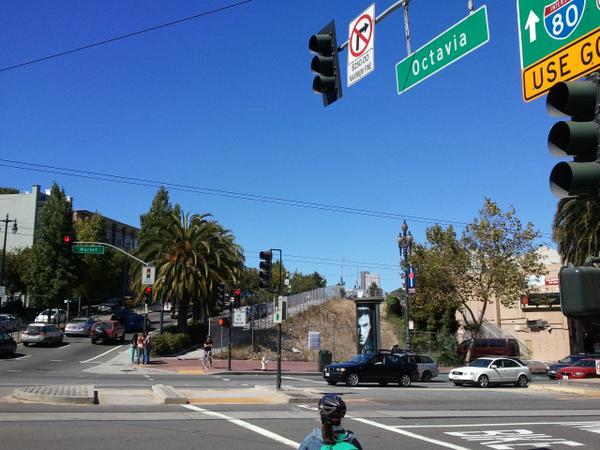
Photo by Martin Atkins
Photo by Martin Atkins
Photo by Martin Atkins
References
Notorious SF: Freeway Revolt from Mister SF
3-digit Interstates: I-480 at karumi.com
Octavia Boulevard an asset to post-Central Freeway area at SFGate